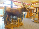
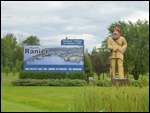
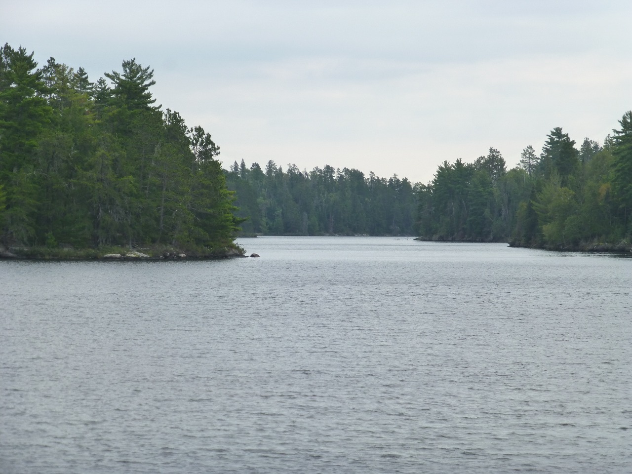
Voyageurs National Park offers a variety of historic sites and cultural landscapes to explore. We already had a glimpse into the history of the fur trade and the waterways and portages associated with it when we visited the Grand Portage National Monument a couple of days ago. This water based park allows the visitor to explore the 500 plus islands and 655 miles of shoreline that are only accessible by watercraft.
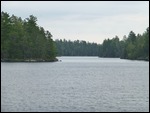
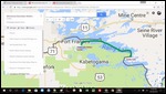
Geographically, Voyageurs NP is Isle Royale flipped out. Isle Royale is a park owned island that is reached through public owned water (Lake Superior). Voyageurs NP is mostly lakes (Rainy Lake, Namakan Lake, Sand Point Lake, Crane Lake and Kabetogama Lake) and the Kabetogama Peninsula. A private boat took us from Grand Portage and dropped us off in the Isle Royale. The reverse situation applied here with a park boat taking us from their visitor center and taking us through the waters of the park and stopping briefly on land that did not belong to the park!
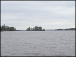
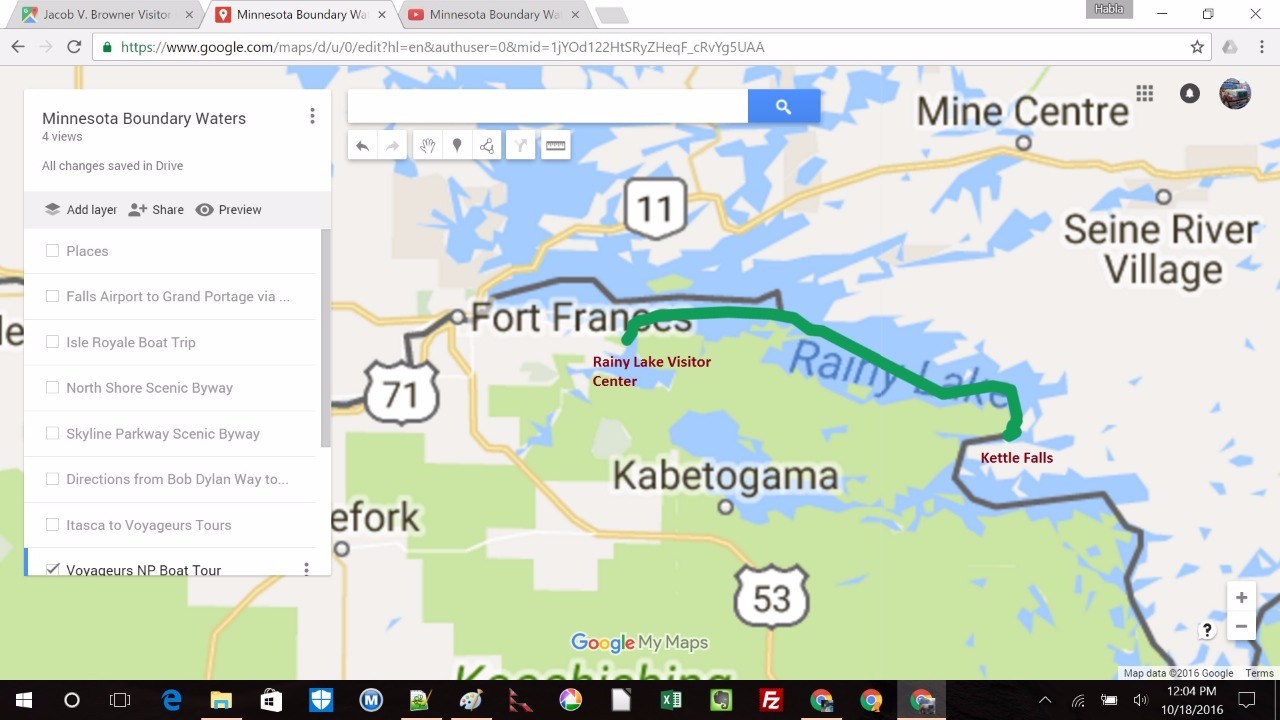
The park owned boat took us from the Rainy Lake Visitor Center (a 11 mile drive from International Falls) to the Kettle Falls Historic District which consists of a waterfall, a dam and the historic Kettle Falls hotel. The journey took about 2 hours each way and passed through the international boundary between USA and Canada on the Rainy Lake (remember the earlier discussion on the border?). The boat had to execute tricky maneuvers to stay on the US side of the border when it navigated the Brule Narrows as well as the narrows near the Kettle Falls destination. This is accomplished with the help of buoys that float in the water, the red ones are American and the green ones, Canadian. Sitting on the top deck right in front of the captain’s cabin as the boat slalomed carefully through the buoys to avoid the dual pitfalls of a) hitting a rock on a shallow part of the lake and b) crossing into Canada, was a unique pleasure that made us feel like 5 year olds again. Wheeeeeeee!
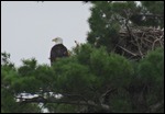
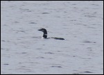
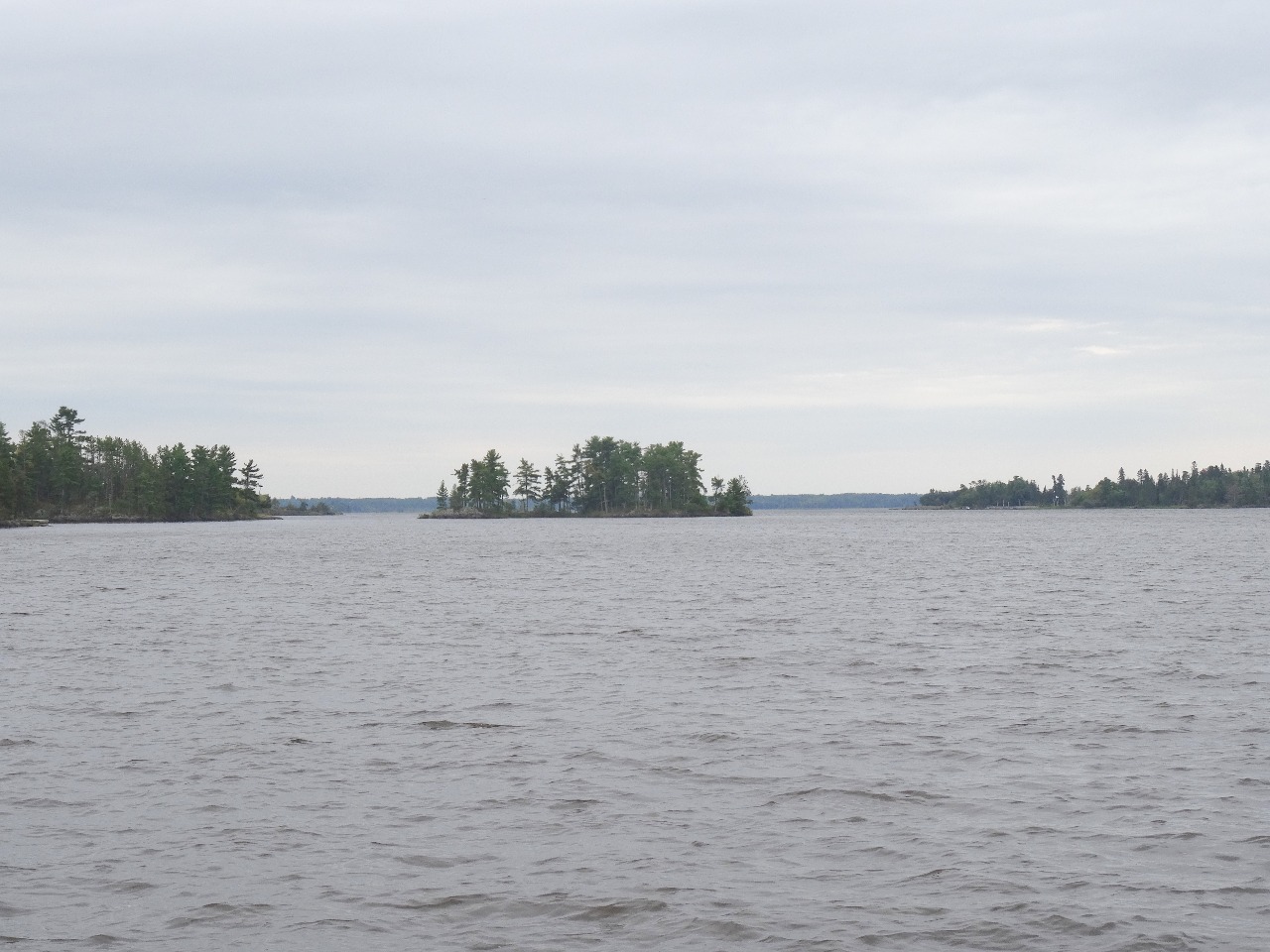
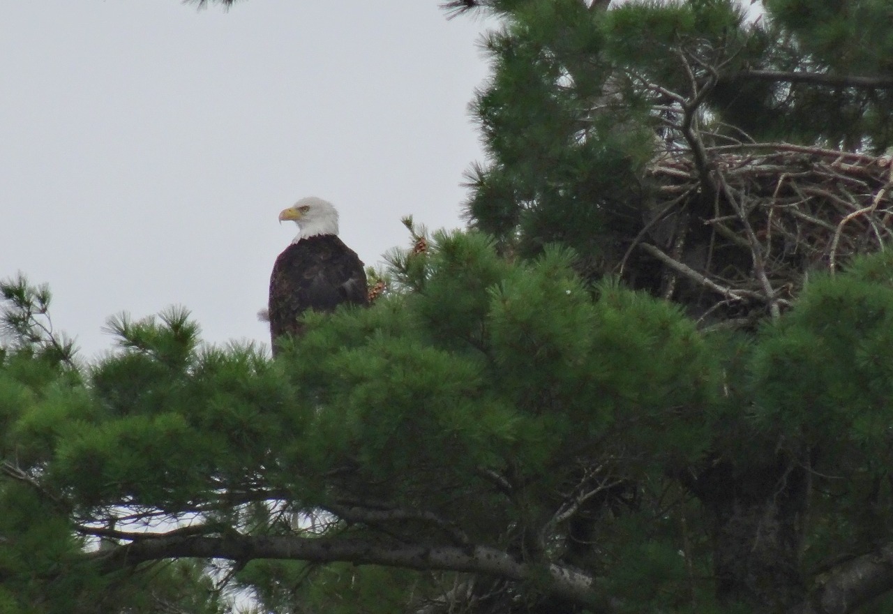
Apart from the border slalom course, we also enjoyed the sightings of bald eagles, a swimming white-tailed deer and some resorts on the Canadian side.
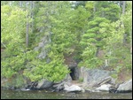
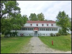
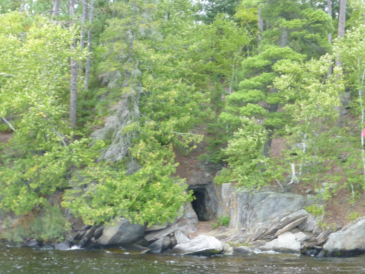
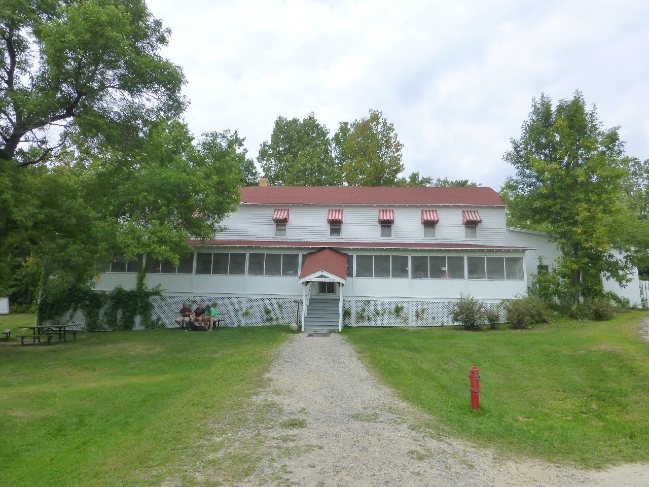
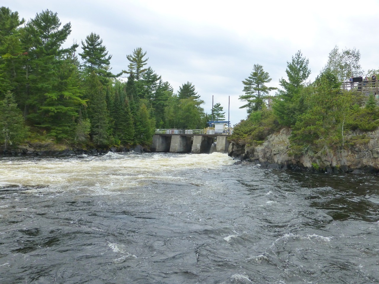
The Kettle Falls Historic District encompasses a portage site on the Canada–United States border in Voyageurs National Park, Minnesota. Kettle Falls is a drainage channel between Namakan Lake and Rainy Lake on the United States side of the border on the eastern end of the Kabetogama peninsula. A stone and concrete dam was built at the site between 1910 and 1914 by the Minnesota and Ontario Power Company. The portage, known at first as the Portage de Chaudi�re or the Portage Neuf, was frequented by voyageurs at first, following an established trail that later became the trace of the U.S.-Canada border. An 1890s gold rush brought miners through the area. It was later used by fishermen and lumbermen, with commercial fish camps operating 1913-1920. Illegal liquor was smuggled over the border from Canada starting about 1910 In the 1930s lumbering operations were the chief activity. The dam is about 20 feet high, with four sluiceways, divided into a section called the American Dam and another on the Canadian channel called the International Dam.
We got a kick out of the international Kettle Falls dam despite its modest size. Its main purpose was to control the water levels to aid the flotation of logs! And this is one of the locations where Canada is south of the border.
Back to the topic of park visitorship and the completists. The park rangers expressed surprise that everyone (some 30 odd people) who made a reservation for the trip actually showed up. They are not used to so many visitors and attributed this to the promotion around the centenary of the National Park Service (1916-2016). We overheard several conversations among the visitors that ran similar to what we heard on the Isle Royale boat trip as well. Sure enough, it turned out most people here were National Park completists who had come to check off one more item on their lists. Truth be told, it takes quite a lot of time and expense to make this trip and after all is said and done, all you get for it is a boat ride and a photo op with a tiny dam (however many borders it straddles) and an ordinary looking hotel (however historic it is).
So, here’s a thought on the completists. How about instituting an award for a special kind of completist? The one who says “Voyageurs (or Isle Royale) is my first national park!” and carries on and finishes with Yellowstone or Grand Canyon or Yosemite! Wouldn’t that be something?
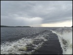
Rainy Lake lived up to its name on the return journey sending everyone scurrying downstairs to the cabin. Despite the rangers’ request for the upper deck occupants to rotate with the cabin occupants so everyone could enjoy the open deck, many on the lower deck never got a chance until the rain started pouring down.
Back on the road on the penultimate day with our return flight scheduled late Monday afternoon, we had made a surprise alteration to our itinerary over the course of the weekend. Well, strictly speaking, not an alteration since we had left the last day open for leftover business. But with our appetite for the border whetted by what we had learned so far, we felt that there was no way we could let go of the opportunity to visit one of the most unique places in the US (if not the world). And in order to make that happen, we had to hit the road westward on Minnesota Highway 11 and reach Warroad, Minnesota on the shores of the Lake of the Woods. This road hugged the shores of Rainy River closely for the most part with the Canadian side being visible throughout. Heavy rain came down in the evening and kept up all night. Thankfully, it cleared up in the morning. We were told it was some kind of seasonal record.
It was finally time to get to the bottom of that bizarre 90 degree left turn we spoke about earlier. What will we find? Will the butler confess? The morning of the last day will reveal all.
Photo Album


Comments