|
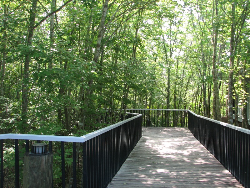
| Bayou Coquille Trail: The half mile trail follows a levee ridge beside the bayou (a term borrowed from the French to refer to slow-moving rivers and creeks in the flat delta country), crosses a cypress swamp and arrives at a vast horizon of freshwater marsh. From there a spur trail follows the Kenta Canal for another half mile. |
 |
| Image | 1 | 2 | 3 | 4 | 5 | 6 | 7 | 8 | 9 | 10 | 11 | 12 | 13 | 14 | 15 | 16 | 17 | 18 | 19 | 20 | > | » | |
| Camera: Canon PowerShot S2 IS | Date: 4/16/10 7:23 AM | Resolution: 2592 x 1944 | ISO: Auto | Exp. Time: 1/60s | Aperture: 3.5 | Focal Length: 6.0mm (~36.1mm) | |
| Total images: 45 | Help |